data analyst
designer/developer
online resume

data analyst
designer/developer
| SUMMARY | |
Scientific Experience
|
Dev Experience
|
| Data Visualization | INSPIRE Environmental | + |
I have created over 15 portable web maps for clients including USEPA, Ørsted US, Trident Seafoods, and others. The main product at INSPIRE is a data viewer capable of presenting media and data tables alongside an interactive map. Typically these maps display Sediment Profile and Plan View images at the points on the seafloor where they were taken, with several toggleable layers that display different data gleaned from the image analysis.
Currently, I am planning a new workflow to begin version tracking these data visualization apps as new features are added and the apps are customized for each client. I am also responsible for developing new features, optimizing the app for deployment on web servers, and some user interface design. Additionally, I have written guides and QC procedures for our development operations at INSPIRE.
In 2019, I created a “multi-year survey” feature that handles multiple input datasets for the same environmental variables, including automatic handling of variables that exist in one dataset but not in the others. This allows clients to see changes that occurred over time, view the same variables from different surveys, and visually understand the scope of the surveys that were conducted.
| Wind Farm Site Studies | INSPIRE Environmental | + |

INSPIRE is conducting reconnaissance surveys for offshore wind developers on the East Coast of the US to aid in the planning of wind turbine layouts and undersea cable routes. The company is also conducting long-term impact studies at the Block Island Wind Farm, a pilot-scale farm constructed in 2015. I helped record demersal fish trawl and water quality data on the F/V Virginia Marise in 2018 and 2019 as part of a before-after control-impact study which began in 2012.
This fisheries study, along with concurrent lobster and recreational boat traffic surveys, aims to create a basis for evaluating impact mechanisms of the farm’s construction and operations on the commercial fishing industry. I prepared monthly data reports from April 2018 to the study’s close in June 2019, which will be analyzed in a full 7-year synthesis to be completed in 2019.
In 2019, INSPIRE conducted several benthic habitat and geophysical studies on the East Coast using Sediment Profile and Plan View imaging. My ongoing roles in these efforts are:
Sediment Profile Image analysis involves the use of Adobe Photoshop to record characteristics of a sediment profile, which is a vertical “sliced” view of the seafloor. This imaging technique is excellent for detecting human-caused disturbances like dredged material or oil drilling remnants. In the wind energy industry, SPI is used to detect sensitive habitats, important species, and objects that would hinder construction.
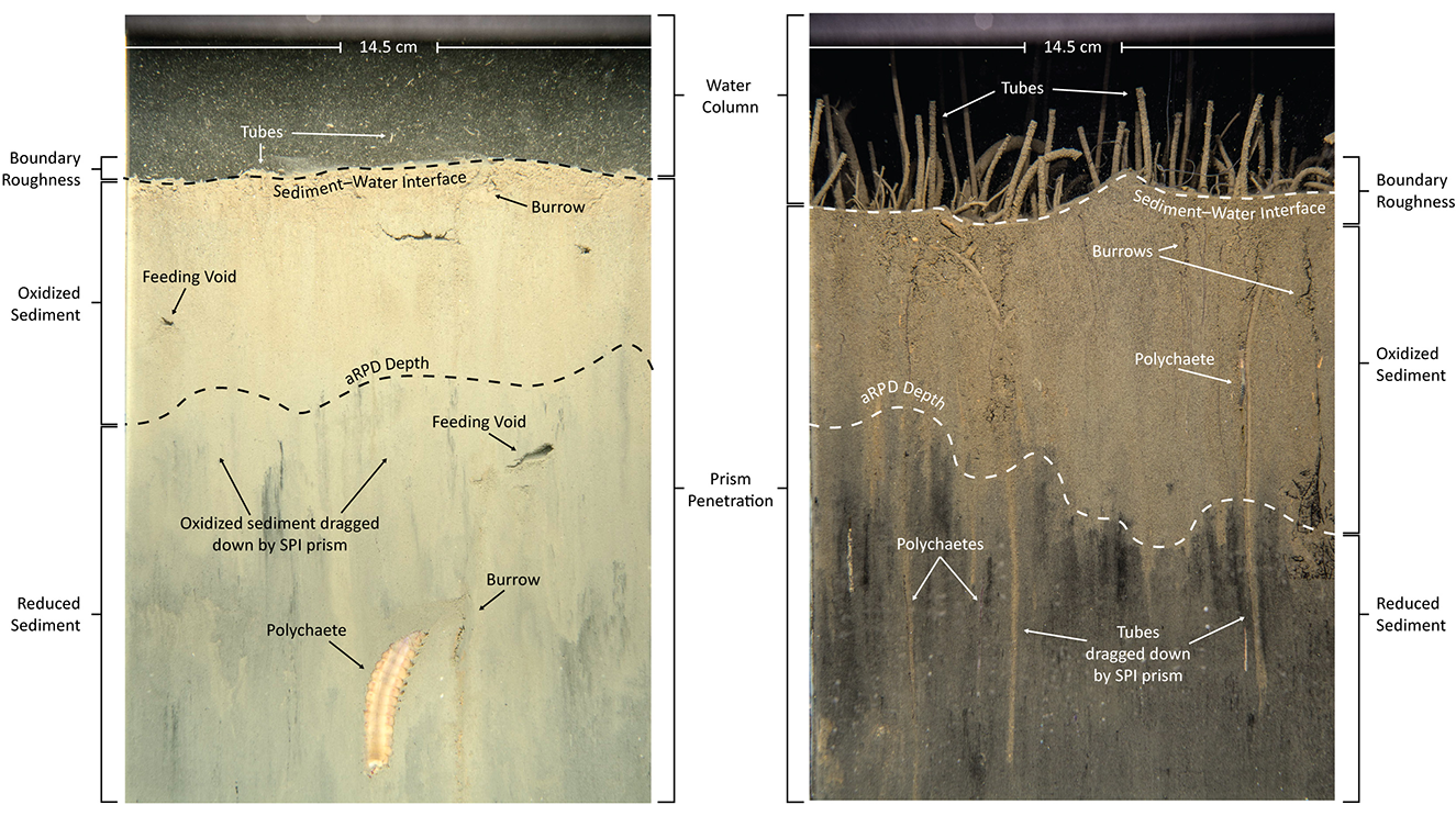
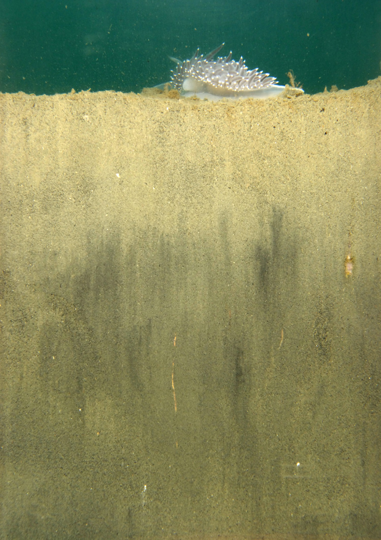
SPI images © INSPIRE Environmental.
| Conservation Planning Model | Highstead | + |

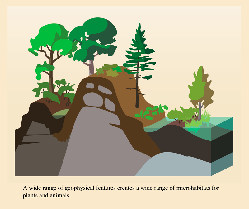
I created map products for several Regional Conservation Partnerships in New England. The largest of these was a data-driven conservation planning map for Fairfield County Regional Conservation Partnership (FCRCP). The map displays the results of a GIS model combining different measures of the value of land from a conservation perspective. These layers were added together to produce an overlay of landscape scores, with top-scoring regions having the highest value for conservation. The co-occurence model included these data to calculate landscape scores:
The Regional Conservation Map (above) is a poster-sized infographic used by the Steering Committee at meetings with the public and prospective members of the partnership. It explains the underlying reasoning behind the co-occurence model layers, and how they relate to the larger vision of conservation in the region. The map includes diagrams of best practices in conservation.


I am a painter/illustrator who specializes in environments and animals. Most of my work is done digitally, but I also paint in oils, acrylic, and watercolor.
In several of my past roles, I have designed logos, infographics, and public outreach materials. Those design projects are listed below.
| Brand Design | Hudson to Housatonic | + |
I worked with the steering committee of the Hudson to Housatonic (H2H) RCP to develop their brand and web outreach from scratch. This resulted in a full visual identity design and a new Wordpress website (under construction). This project allowed me to practice the process of listening to the client, assessing the needs of the organization, and creating products that fill those needs and build a positive image for this conservation partnership.

| Brand Design | The RCP Network | + |
At the 2015 RCP Network Gathering event in Nashua NH, I produced and published videos of the workshop sessions and assisted the Highstead staff with setting up and running the event.
In 2016, I designed a visual brand for the RCP Network, including a flexible logo, color palette, typography guidelines, and materials for the RCP Network Gathering.

| Illustrations | Audubon Society of RI | + |
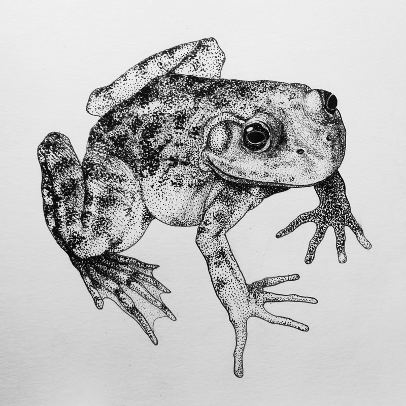
In 2014, I volunteered to illustrate identification panels for the fish, mollusks, and echinoderms kept at the Bristol Audubon Environmental Education Center in Bristol, RI. Thanks to the Center's partnership with the marine biology program at RWU, the aquarium has been fully modernized and is able to house more species than ever before. I am continuing to provide new pen and ink illustrations each time a new species is added.


| Design and Modeling Software | |
| Adobe Photoshop 10+ yr | AutoCAD 1 yr |
| Adobe Premiere 10+ yr | AutoDesk Fusion 360 1 yr |
| Adobe Illustrator 10+ yr | |
| Adobe InDesign 6 yr | |
| Geospatial Software | |
| QGIS 6 yr | Leaflet 4 yr |
| ESRI ArcGIS 4 yr | Mapbox GL JS 3 yr |
| Code | ||
| HTML/CSS | 10+ yr | |
| JavaScript | 10+ yr | |
| WordPress | 6 yr | |
| PHP | 6 yr | |
| Python | 3 yr | |
| MATLAB | 2 yr | |


At RWU, my degree program focused on Earth and marine science. It consisted of laboratory physics, chemistry, and biology preceding specialized topics such as meteorology, climatology, environmental toxicology, and environmental remediation. I enjoy painting and programming as hobbies.